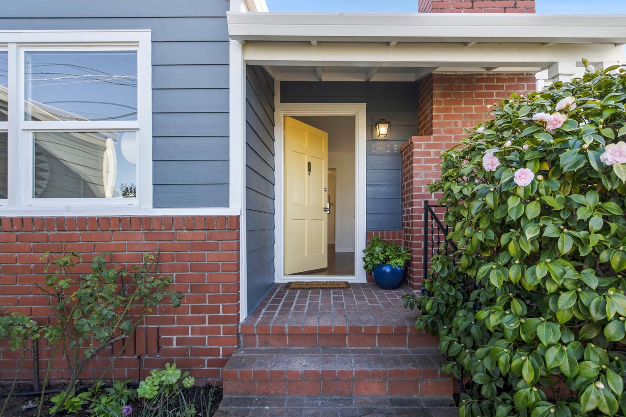
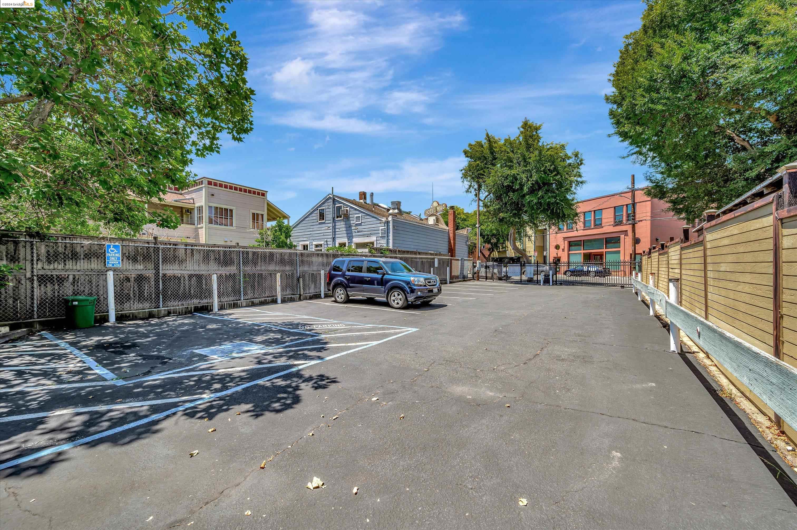
The City of Richmond is located 16 miles northeast of San Francisco, directly across San Francisco Bay. Richmond is on a peninsula separating San Francisco Bay (on the south) and San Pablo Bay (to the north), and the city has 32 total miles of shoreline. The city's total area is 56.0 square miles, of which 33.7 are land area and 22.3 are water area. Richmond's central location. Richmond is situated near major metropolitan cities and major new growth areas. San Francisco is within 35 minutes from Richmond by freeway; Oakland is 20 minutes; San Jose is approximately one hour's drive to the south; and Sacramento, the state capitol, is approximately 90 minutes to the east. Central Marin County is 15 minutes from Richmond directly across the Richmond-San Rafael Bridge. The freeways provide direct access from Richmond to major new growth areas along Interstate 80 north and east to Vallejo, Fairfield and Sacramento; along Interstate 680 in central Contra Costa County; and south along Interstate 880 to the San Jose area. The population within a 30-mile radius of Richmond is over 3.7 million, and within a 70-mile radius is approximately 7.8 million. Location in Contra Costa County. Richmond is located on the western shore of Contra Costa County, and is the largest city in the "West County" region consisting of five cities: Richmond, El Cerrito, San Pablo, Hercules, and Pinole.
History: The following are highlights of Richmond, California's varied and colorful history.
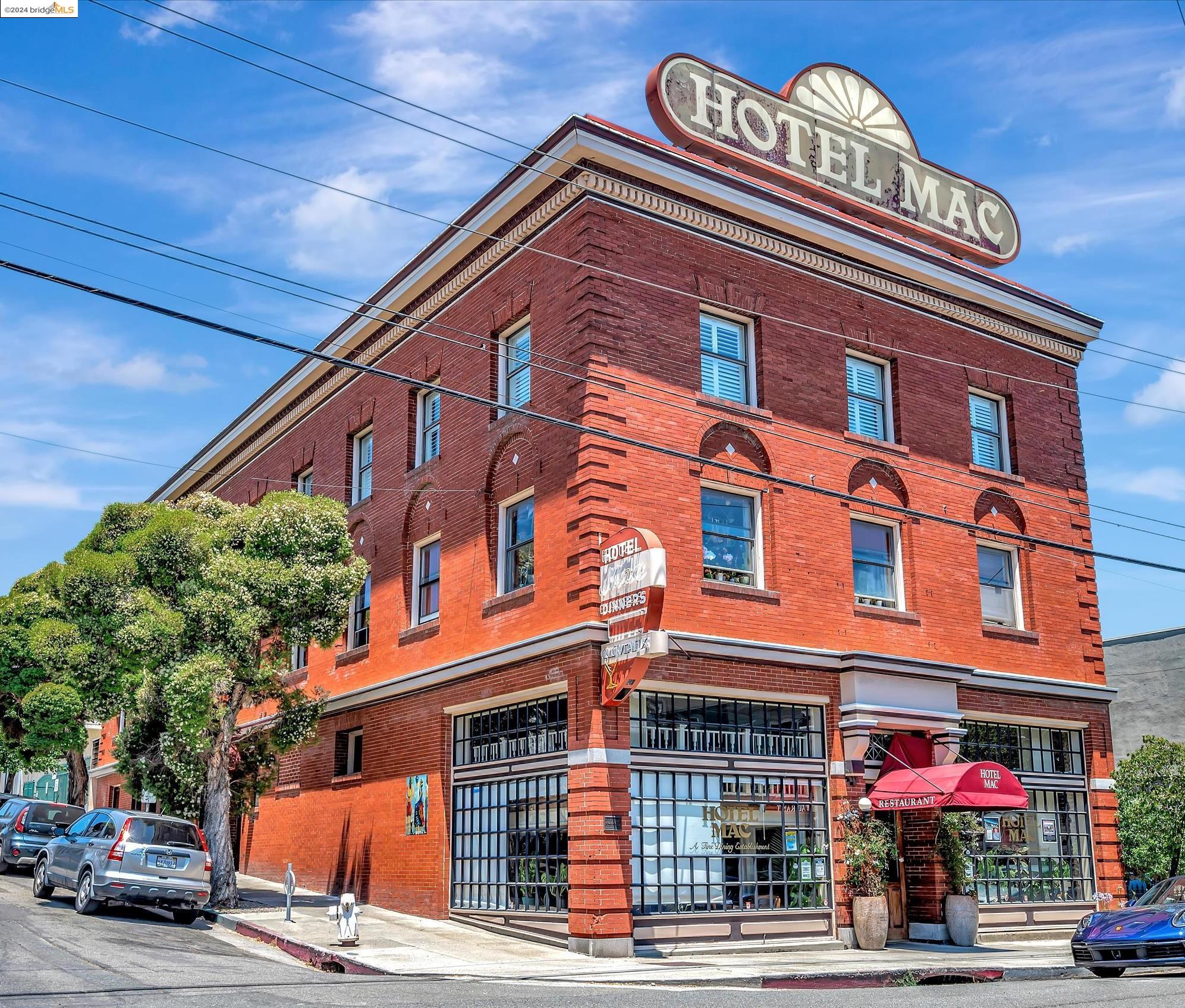
The earliest inhabitants of Richmond were the Ohlone Indians, who settled here an estimated 5,000 years ago. Distinct and separate groups lived a stable and peaceful existence, with a culture based on strong community ties, spiritualism, and rich artistic creativity. The Ohlone were hunters and gatherers that built extensive shell mounds along the Bay. The first Europeans to visit the city's future site were the Spanish explorers Pedro Fages and Reverend Juan Crespi, who passed through the East Bay in 1772. After Mexico won independence from Spain in 1821, large tracts of land in California were granted to military heroes and loyalists. In 1823, Don Francisco Castro was given 17,000 acres of land in Contra Costa, which became known as Rancho San Pablo. The city of Richmond was established on a portion of Castro's land grant about seventy years after his death. In 1895, Augustin S. Macdonald visited Point Richmond and conceived the idea of a transcontinental rail terminal and ferry service to provide a direct route from Richmond to San Francisco. Macdonald presented his idea to the Santa Fe Railroad and in 1899 the railroad established its western terminus in Point Richmond. The first overland passenger train arrived in Richmond from Chicago in 1900. In 1901, Santa Fe moved its shops to Richmond and the Standard Oil Company built its refinery.
Industrial Growth 1900-1940
When Richmond incorporated as a city in 1905 it had a population of 2,150 and was already an established industrial town. The city charter was adopted in 1909, and by 1910 the town numbered 7,500. Within a few years the following substantial industries locate to Richmond: Winehaven, Pullman Palace Car Shops, American Radiator, Standard Sanitary Company, Stauffer Chemical Company, and several others less well known. Town sites began to emerge around these industries, as Rancho San Pablo's vast grain fields were subdivided into uniform city lots.
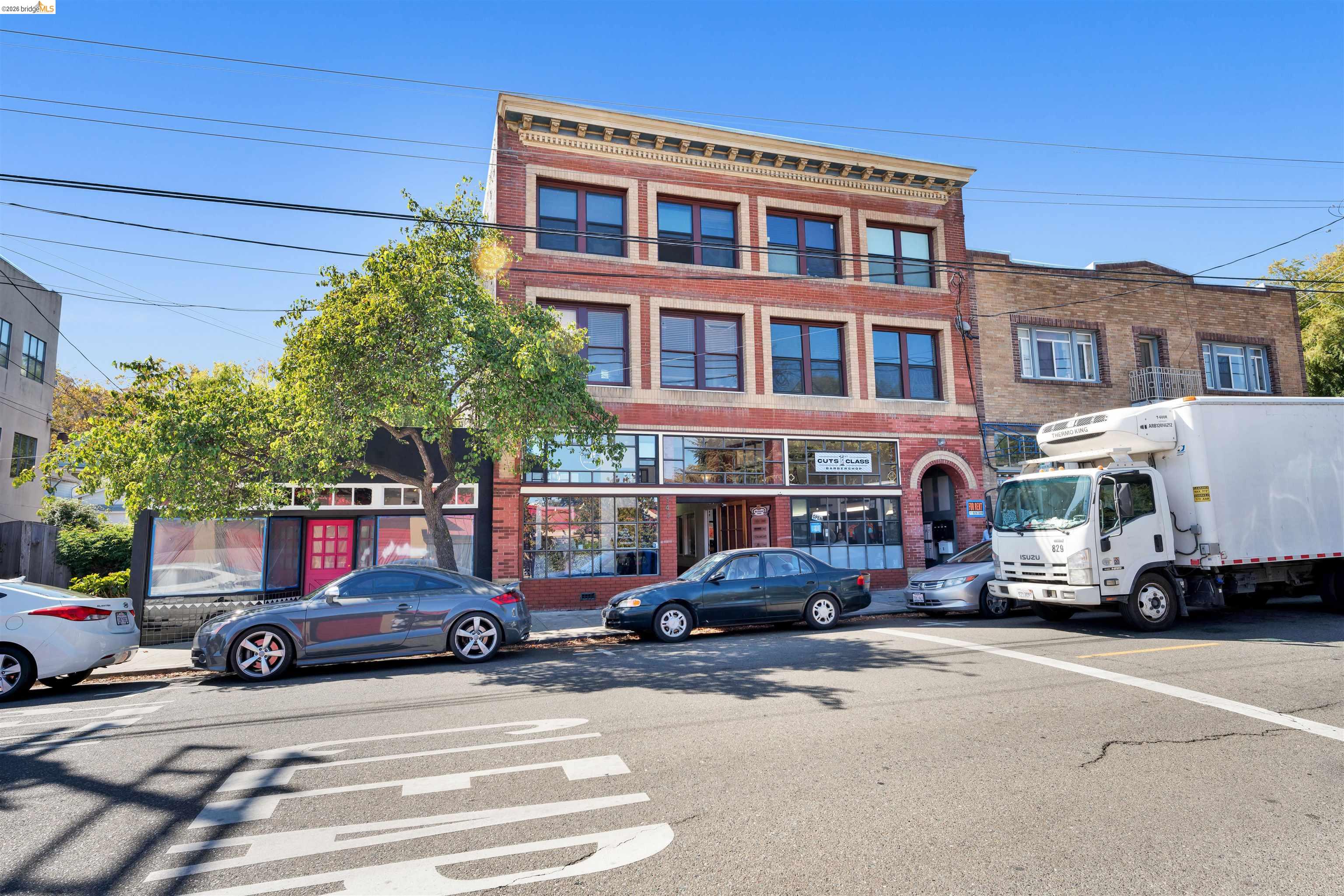
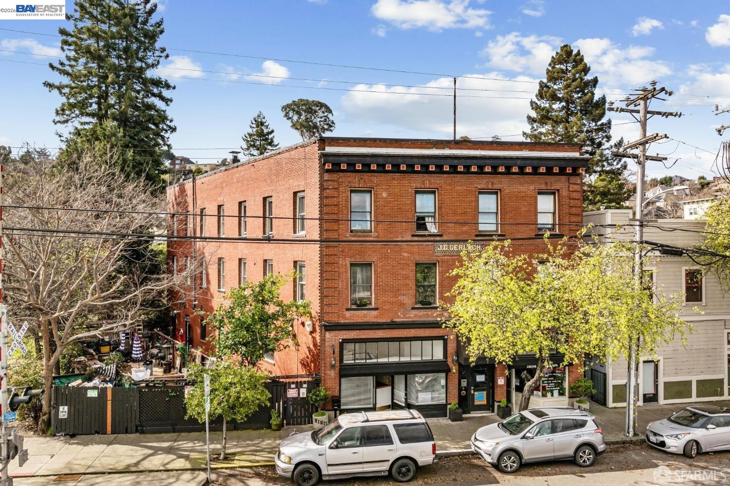
As the City grew during the 1920s and 1930s, Richmond's Downtown emerged as the City's business and retail center. The elegant Carquinez Hotel (later renamed Hotel Don) opened its doors in 1925 and soon became the center of the City's social and civic life. Construction of shipping port terminals began in this period. By 1907 harbor construction was being promoted and major dredging and terminal construction was authorized by bond issues in 1912 and 1920. Tideland filling as part of the harbor dredging in the 1920s made possible the opening of the Ford Motor Assembly Plant and the Felice and Perelli Cannery in 1931. The prohibition era forced the closing of Winehaven. The City's population, meanwhile, had grown from 2,150 in 1905 to 23,600 in 1940.
World War II and the Shipyards (1940-1945)
The next chapter was by far the most dramatic and earth-shaking in Richmond's history. World War II began, and the Kaiser Richmond Shipyards, one of the biggest wartime shipbuilding operations on the West Coast, sprang up on Richmond's South Shoreline in January 1941. The result was explosive growth, large scale in-migration of workers, a "boomtown" atmosphere, and profound long-term effects on the City. The shipyards covered much of the vacant industrial land in the South Shoreline harbor area, requiring extensive additional tideland filling. Richmond's population increased dramatically from 23,600 in 1940 to over 93,700 in 1943 as tens of thousands of new residents migrated from the economically depressed South and Southwest to work in the shipyards.
Postwar Adjustment (1945-1960)
At the end of the war, the shipyards closed in 1945 and a far-reaching readjustment began. Industrial production rapidly declined and the population decreased steadily from 101,500 persons in 1947 (a special census count) to 71,900 in 1960. A number of new industries moved in to occupy vacated shipyard structures. Among them were Kaiser Aircraft, Garwood, Butler, Southwest Welding, Pacific Vegetable Oil, United Heckathorn, and the first of the major warehousing operations, Ford Parts Depot and International Harvester. The Richmond Redevelopment Agency was formed in 1949 and undertook several redevelopment projects starting in the mid-1950s. Three of these were industrial projects (Harbor Gate, Galvin, and Terrace). The Harbor Gate Redevelopment Project cleared war housing in 1955, thereby providing sites for additional major warehouses such as Safeway and United Grocers. Throughout this history Standard Oil, now called Chevron USA, and its subsidiaries, Chevron Chemical and (later) Chevron Research, have grown steadily and have remained the City's major industry and employer, with the exception of the brief war-time shipbuilders.
Population Changes
The City's population remained within the 71,000 - 79,000 range from 1960 to 1987, with little new development until the early 1980s. Between 1987 and 1995, however, Richmond's population grew steadily from 78,900 in 1987 to 93,000 in 1995. This dramatic increase was due primarily to the large number of new homes that were built in the El Sobrante, Hilltop, Brickyard Cove, Marina Bay, and City Center/Downtown areas during that period.
Richmond covers 56 square miles and has a population estimated at 116,448 (source: U.S. Bureau Census 2020 American Community Survey). Richmond's economy is currently undergoing a major transition from its former heavy industrial character toward more high technology ("high tech") and light industrial companies with new business parks accommodating light industrial and "office/flex" land uses. Biotechnology, in particular, has developed as an important new "niche" in Richmond's growing economy. At the same time, the City's major manufacturer, Chevron has continued to upgrade their Richmond facilities, making major investments to modernize and expand their facilities. Richmond is a growing maritime, industrial and residential community with a thriving and changing economy, a dynamic business environment, and a strong potential for further growth.
Excerpts from the City of Richmond website. For more, see https://www.ci.richmond.ca.us/112/History-of-Richmond